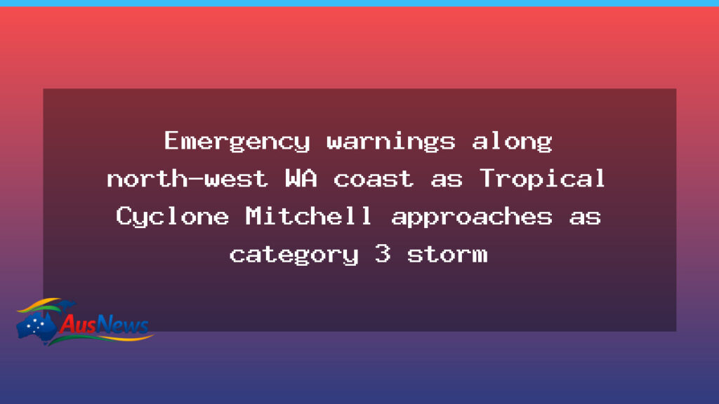
A Severe Tropical Cyclone Mitchell is tracking toward Western Australia’s north-west coast, with forecasts indicating Cyclone Mitchell Pilbara will remain at Category 3 as it approaches the coastline. The cyclone is currently positioned west of Karratha, moving along a path that could bring damaging winds, heavy surf and periods of intense rain to towns from Exmouth to Onslow late on Sunday night.
What we know
- The system is offshore west of Karratha, with winds near the centre around 120 km/h and gusts reaching well into the higher ranges according to forecasters.
- Forecasts indicate Cyclone Mitchell Pilbara will keep Category 3 intensity as it travels along the Pilbara coast.
- Landfall is anticipated between Exmouth and Onslow on Sunday night, although the exact timing may shift with new data.
- Coastal warnings and safety advisories have been issued, and authorities are urging residents to monitor official updates.
- The track suggests the cyclone will move close to the coastline, producing large surf, strong winds and dangerous conditions along exposed shores.
Authorities emphasise preparedness for coastal communities and remote towns, urging people to secure around-the-house items, check shelters and heed official guidance if any evacuation or shelter requirements are announced. Forecasters warn that the system’s rain bands could extend well inland in some catchments, potentially impacting creeks and rivers.
What we don’t know
- Exact landfall location and timing may shift as new data becomes available from meteorologists.
- Precise rainfall totals and the resulting flood risk for inland areas remain uncertain.
- Potential disruptions to power, communications and transport networks have not yet been quantified.
- Whether evacuation orders or shelter activations will be put in place for specific towns is not confirmed.
- Impacts on remote communities and port routes depend on how the cyclone evolves over the next 24–48 hours.
With the weekend approaching, residents are urged to stay tuned to official channels for updates and follow safety guidance from authorities. The situation remains dynamic, and forecasts may adjust the intensity and trajectory as more information becomes available.